Google Earth: 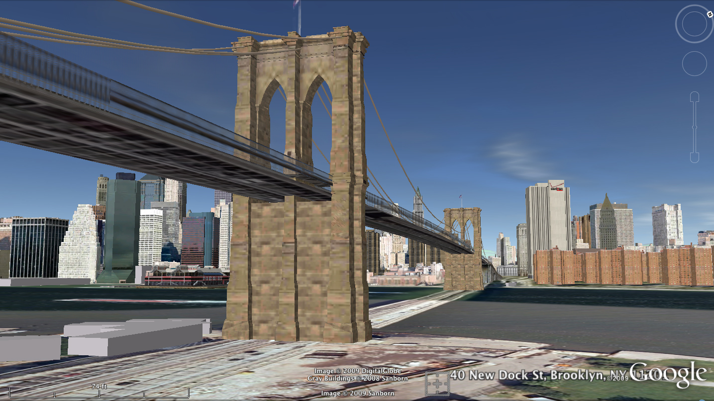
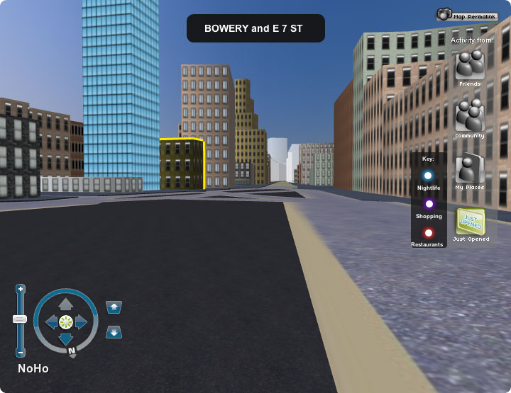
Google Street View: 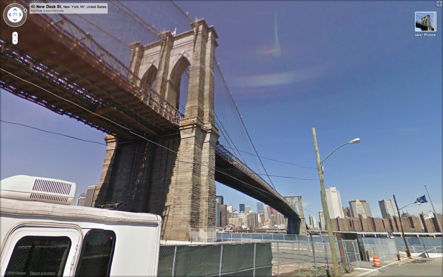
Grand Theft Auto IV: 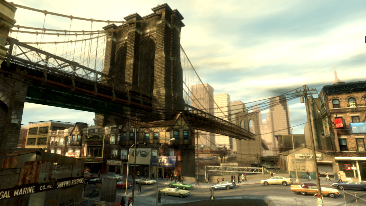
Google Earth’s take on the scene sums up the problems with the state of 3D representations of our environment. Since the Brooklyn Bridge enjoys celebrity status, it gets lovingly hand-modeled either by Google or crowd-sourced obsessives. But the rest of the scene is literally flat. Street View isn’t exactly 3D, but it shows some of the other data Google has on hand that might go into improving the quality of the ground-level experience in Google Earth. The Grand Theft Auto IV screenshot provides some calibration as to how much detail current hardware can render in real time — and although much of the scene is fictional, it highlights the details Google misses, and highlight the fact that the bottleneck to an improved model is data rather than processing power.
So where is this data going to come from? How are we going to fill in the gaps between items that are epic enough to fuss over by hand (like the bridge) and the aerial photography that’s supposed to pass for a backdrop? Where are the cars and the people and the telephone wires that humbly contribute to our sense of place?
I’m not sure the answer to these questions are being pursued very rigorously, but there are a couple of approaches to populating the current, rather sparse 3D representations of the world.
Google’s recently released Building Maker makes it easier to add buildings, but it won’t let you draw a mailbox or a tree.
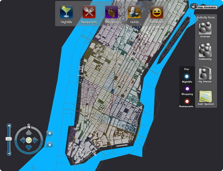
In lieu of crowd-sourcing, a site called UpNext created a (most likely) hand-built 3D approximation of Manhattan, that’s more navigable (but not necessarily more detailed) at street-level than Google Earth’s take on the same space.
A low-budget means of building 3D models can be found in Friedrich Kirschner’s ink scanning project. A cheap camera takes a series of photographs as an object (or person) is submerged into an opaque liquid. The photographic slices are then reconstituted to create a three dimensional point cloud. Not necessarily scaleable, but an interesting example of simple and cheap technology doing the work of much more expensive LIDAR or industrial-grade 3D scanning systems.
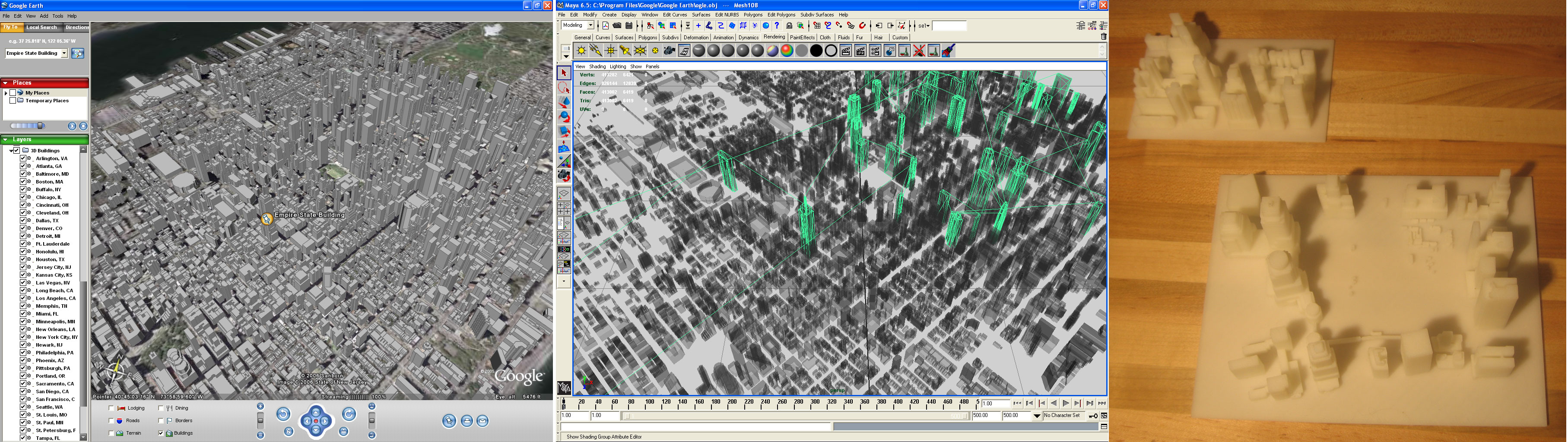
Ogle is a legally unsustainable but nevertheless interesting approach to extracting existing 3D data from closed systems. It basically scrapes OpenGL data after it’s been rendered into standard 3D model formats.
Here it is extracting data from Google Earth for 3D printing:
A few papers from the 2008 3DPVT conference also show promise in improving the models we have, or building new ones more easily.
Martin Schneider and Reinhard Klein’s paper on improving texturing of height map images by merging several orthographic photographs of the same terrain. Could be of use to Google since they have access to ideal source images. The technique is not necessarily applicable to urban areas, but could improve models of rural areas.
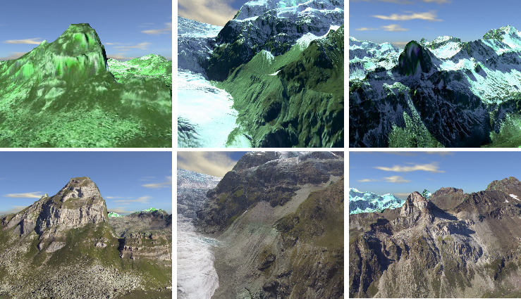
The top row shows a region textured without the technique, the bottom row shows the same region with the improved texturing proposed in the paper.